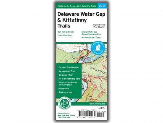
NY-NJ Trail Conference Delaware Water Gap and Kittatinny Trails Map Set
This 2021 revision, in addition to the title change, includes new and improved elevation contour lines, which make cliffs and steep trail areas easier to identify, as well as revised streams to more accurately show stream crossings. The system of nearly 40 miles of multi-use trails at Port Jervis Watershed Park has been added, and other new trails include the Sawkill Trail that connects Milford to the Cliff Park trail system and newly-opened sections of trail along Hornbecks Creek in Pennsylvania. Trail name and blaze color updates include trails in Worthington State Forest, trails around Blue Mountain Lake/Hemlock Pond/Crater Lake in Delaware Water Gap National Recreation Area, and sections of the Lusscroft Farm area of High Point State Park. Improvements have been made to the route and access points for the 32-mile-long McDade Trail in Pennsylvania. Newly-protected lands have been added to the maps, including recent acquisitions by the Ridge and Valley Conservancy and The Land Conservancy of New Jersey. Several birding hotspots have been added with assistance from the Saw Mill River Audubon to highlight areas of special interest for birding. Additional adjustments throughout the maps, including additional viewpoint stars, make this 8th edition of Delaware Water Gap & Kittatinny Trails our most accurate map yet of these parklands.
- More than 325 miles of marked trails in portions of New Jersey (Sussex and Warren counties), Pennsylvania (Monroe, Northampton, and Pike counties), and New York (Orange County)
- Parklands including the Delaware Water Gap National Recreation Area, High Point State Park, Stokes State Forest, Worthington State Forest, Port Jervis Watershed Park, and Huckleberry Ridge State Forest
- More than 50 miles of the Appalachian Trail as it traverses the Kittatinny Ridge
- Detailed junction-to-junction trail mileage numbers
- 20-foot elevation contours
- 1:36,000 scale (1 inch = 3,000 feet)
- Convenient map sizes to carry and use on the trail
- Complete trail index and guide to trail usage on map back
- Enlarged inset maps of many popular areas, including High Point Monument, Stony Lake, and the Delaware Water Gap
- Parkland boundaries
- Unmaintained trails and woods roads
- Viewpoints, campsites, shelters, waterfalls, mines, and other points of interest
- Parking areas
- Delaware River information such as river mileage, access points, rapids, and river campsites
- Park contact information, history, and regulations
- UTM coordinate grid with latitude/longitude markings